Rabida Island
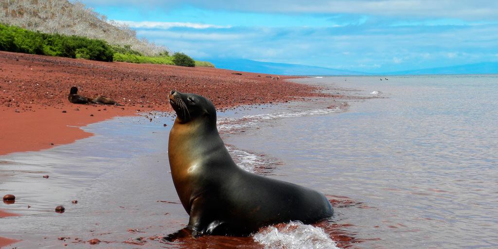
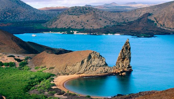
Rabida Island is one of the smallest from the Galapagos. Its arid with steep slopes. Most of its surface is rocky except for the beach on the north-east side of the island. The overall reddish color and appearance of the Island is a result of multiple volcanic craters and high iron content in the lava.
Situated 4.5 Kms to the south of Santiago Island, Official Ecuadorian name of the island is Isla Rabida, named after the convent of Rabida. Convent of Rabida is where Columbus left his son during his voyage to the Americas. It was originally named for the 18th-century British admiral John Jervis.
- Area: 4.9 km2 or 1.89 mi2
- Maximum Altitude: 367 m or 1203 ft
- Human Population: 0
Where is Rabida Island Located ??
Rabida Island 360° Panoromic View
Rabida Island from an elevation of 5500 feet [Image Source: Google Earth]The visit to Rabida begins from the beach area to the north east as shown in the picture above. When the population of the Giant Tortoises at the Galapagos is mentioned, the population at Island is also talked about. The island is also know for its Red Sand Beaches, a salt water lagoon inhabited by Flamingoes. You can also see an amazing 360° Panoromic View of the same site.
Planning a Trip to Galapagos ??
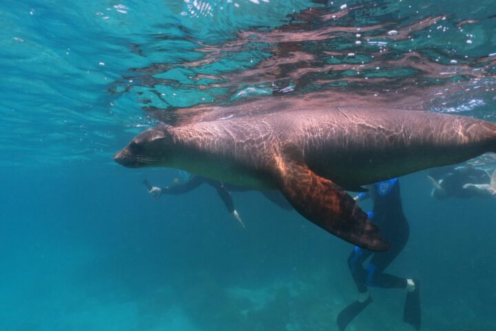
The island (Jervis) has lots of Marine Animals and Birds you may have not seen elsewhere. Moreover, it has many diving sites to the south of Santiago Island where you may see white sharks, rays, and Bachelor colony of SeaLions. This place is a heaven for photographers as shadows play hide and seek throughout the island because of it volcanic craters. See some more of Finches, Boobies, Flamingoes during your Galapagos Land Tours with Nature Galapagos and Ecuador. Book your favourite travel package today itself !!!


Comments